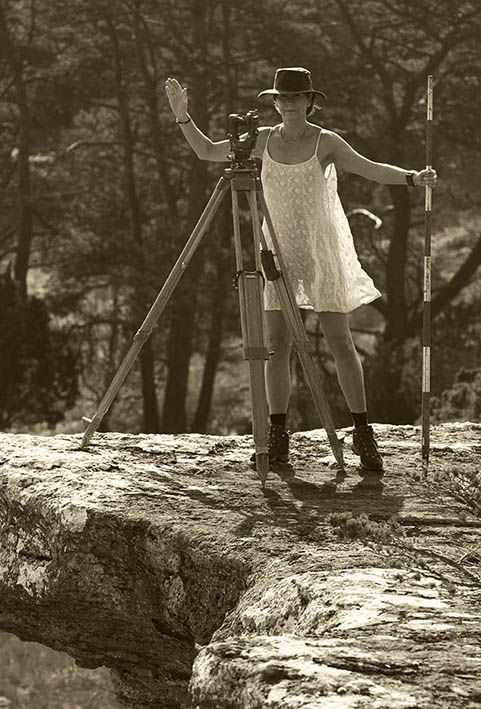
In surveying and geomatics, a traverse is a method of measuring and recording a series of connected lines or segments, typically used to determine the relative positions of points on the Earth's surface. It involves a series of straight line segments between points, where each segment is measured in terms of its length and direction. Traverses can be classified into open and closed traverses. An open traverse does not return to the starting point, while a closed traverse forms a loop, returning to its starting point, which allows for error checking and adjustment.
Traverse computation involves calculating the coordinates and directions of points along a traverse based on measured data. This process includes determining survey point positions by solving equations derived from angular and linear measurements. Key steps include adjusting for errors to ensure accuracy, converting measured bearings and distances into coordinates, analyzing and adjusting results to minimize discrepancies, and plotting the traverse for visual representation on a map or plan.